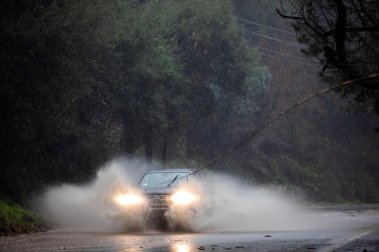
A powerful storm system began hitting Southern California on Wednesday, prompting officials to take urgent action to protect homes and communities, particularly in areas recently scarred by January's devastating fires.
Los Angeles County crews have been working around the clock to prepare for potential debris flows and flooding. Workers cleared 154 debris catch basins and installed thousands of sandbags and protective barriers to prevent mud and rocks from flowing into neighborhoods.
"The event has started," the National Weather Service announced Wednesday morning, noting that the most intense rainfall is expected Thursday. The storm could bring rainfall rates of up to one inch per hour in some areas - enough to trigger dangerous debris flows in burn zones.
Mark Pestrella, L.A. County Public Works Director, said crews have removed 150,000 cubic yards of debris from the Eaton wash dam basin to create capacity for the incoming storm. Officials have also contacted property owners near burned slopes about potential landslide risks and may issue evacuation orders if conditions worsen.
The areas of highest concern include the recent Palisades fire zones in Pacific Palisades and Malibu, the Eaton fire area in Altadena, and the Bridge fire zone near Wrightwood. These burn scars are expected to receive between 3-5 inches of rain over the three-day storm period.
"Thursday is the time of most concern, when the winds and the rain will be the strongest," said Ryan Kittell, a National Weather Service meteorologist. He warned that debris flows could move at speeds up to 35 mph, potentially burying cars and homes in thick mud.
Flood watches will be in effect across Los Angeles, Ventura and Santa Barbara counties during the peak of the storm. Officials urged residents to:
- Sign up for emergency alerts at Ready.LACounty.gov
- Stay off roads during heavy rainfall on Thursday
- Heed any evacuation warnings
- Be prepared for power outages and flooding
The storm is expected to exit the region by Friday, with warmer weather forecast for the weekend. No additional rain is predicted for the remainder of February.