A powerful atmospheric river system moving south from the Pacific Northwest is set to impact Southern California from Wednesday through Friday, bringing a combination of rain, snow, and high winds to the region.
The National Weather Service (NWS) forecasts that the weather system will deliver its precipitation in two distinct waves - the first arriving late Wednesday into early Thursday, followed by a second wave from late Thursday into Friday.
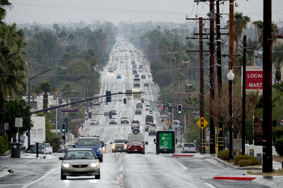
The storm is expected to drop between one-third to half an inch of rain in Palm Springs, with lesser amounts predicted for other parts of the Coachella Valley. The possibility of thunderstorms could lead to periods of intense rainfall in localized areas.
Mountain regions will see the most dramatic effects, with the Riverside County mountains forecast to receive 6 to 12 inches of snow at elevations above 5,000 feet. Areas above 7,000 feet could see accumulations reaching 18 inches. The NWS has issued a Winter Storm Watch for these areas.
Strong winds will accompany the system, with gusts potentially reaching 75 mph along desert-facing mountain slopes. These conditions could impact travel, particularly along Interstate 15 through the Cajon Pass, affecting both morning and evening commutes on Thursday.
The incoming weather system qualifies as an atmospheric river - a narrow band of concentrated water vapor that carries roughly the same amount of water as the Mississippi River's flow.
According to NWS Meteorologist Chandler Price, while the system appears strong for early March, such weather patterns are not unprecedented for this time of year. Following the storm's passage, a high-pressure system is expected to bring warmer, clearer conditions, though additional precipitation may return next week.
The weather service notes that much of the system's moisture will be depleted before reaching the desert regions, with areas east of the mountains expected to receive minimal rainfall.