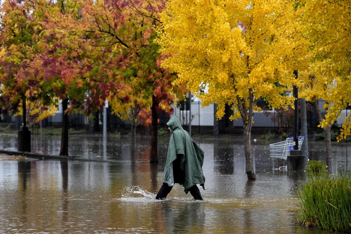
A powerful atmospheric river storm system is drenching California with historic rainfall amounts, breaking decades-old records and raising concerns about flooding and mudslides across the state.
The storm, which initially intensified into a bomb cyclone before making landfall, first hit Northern California with intense winds and heavy precipitation. Multiple regions have recorded unprecedented rainfall totals, with some areas receiving over 15 inches of rain.
Santa Rosa shattered its three-day rainfall record, recording the highest precipitation amounts in 123 years of record-keeping. The city's airport logged nearly 5 inches in a single day, demolishing the previous daily record of less than an inch set in 2001.
Notable rainfall totals include Laytonville in Mendocino County with 17.7 inches and Honeydew in the King Range mountains with approximately 15 inches. In the Sacramento region, Whiskeytown recorded 12.21 inches while Sims in the Klamath Mountains received 13.37 inches.
The deluge has impacted travel, with San Francisco International Airport experiencing extensive delays and cancellations. As of Friday afternoon, over 440 flights were delayed and 53 were canceled.
The storm system is now moving southward, with forecasts predicting 1-3 inches of additional rainfall across the San Francisco Bay Area before reaching Central and Southern California. Los Angeles and Ventura counties could receive up to a third of an inch of rain, while San Luis Obispo and Santa Barbara counties may see up to an inch in certain areas.
Of particular concern is the Portuguese Bend landslide area in Rancho Palos Verdes, where increased groundwater from rainfall could accelerate land movement. Local officials have implemented winterization efforts, including drainage improvements and crack filling, to minimize potential damage.
The atmospheric river has boosted California's water resources, with Lake Oroville, the state's largest reservoir, rising 3.5 feet during this event. The reservoir now stands at 49% capacity and 95% of its historic average. Overall statewide precipitation has increased from 57% to 61% of average, though southern regions remain below normal levels.
A second round of rain is expected to begin Sunday, adding to the already saturated conditions across the state.