The Island That Never Was: California's Centuries-Old Cartographic Mystery
• 1 min read
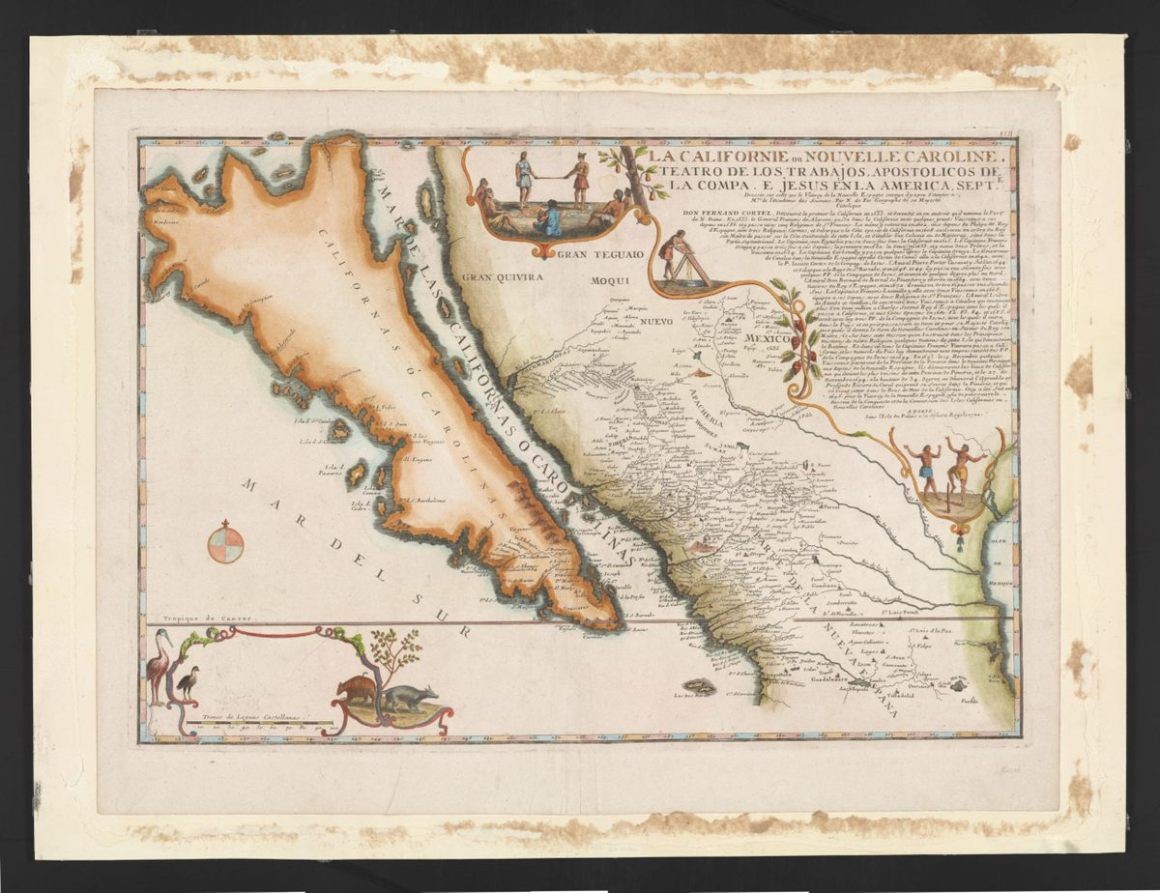
For over 200 years, mapmakers erroneously depicted California as an island separate from North America, influenced by Spanish explorers' misconceptions and a popular novel. This fascinating cartographic error persisted until the 18th century, shaping how people viewed the geography of the New World.
SFGATE Launches Ambitious Project to Map California's True Regional Boundaries
• 1 min read
SFGATE embarks on a groundbreaking crowdsourcing initiative to create the definitive map of California's regions, aiming to settle long-standing geographic debates. The project seeks local expertise to determine precise boundaries between Northern and Southern California, define the Central Coast, and resolve contentious Bay Area limits.