A peculiar cartographic error persisted for over 200 years, showing California as an island separated from mainland North America. This fascinating mistake shaped how people viewed the geography of North America well into the 18th century.
The confusion began in the late 1500s when Spanish explorer Antonia de la Ascensión made an erroneous observation during his voyage along the West Coast. He declared California to be "the largest island known," claiming it was cut off from New Mexico by a sea. Other explorers like Juan de Iturbe and Antonia Vázquez de Espinosa supported this misguided view.
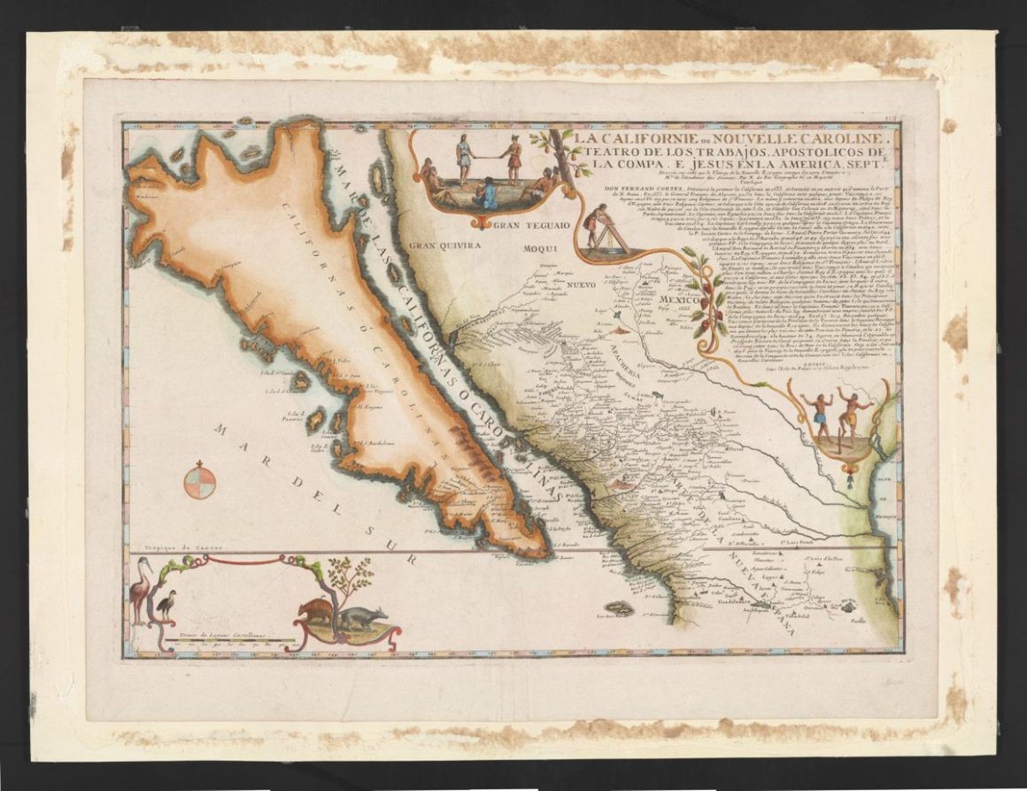
The error gained widespread acceptance in 1650 when renowned French cartographer Nicolas Sanson included California as an island on his influential map. Given Sanson's reputation, other mapmakers simply copied his representation, perpetuating the mistake across Europe.
Several factors contributed to this geographical misconception. A popular 1510 Spanish novel, "Las Sergas de Esplandián," may have influenced early perceptions by describing a mythical island called California ruled by Queen Califia. The book portrayed it as a paradise inhabited by Amazon-like warriors, rich in gold and exotic beasts.
Political motivations also played a role. Some historians suggest Ascensión's island theory aimed to diminish English explorer Francis Drake's territorial claims of New Albion on the mainland. Additionally, merchants and settlers hoped for a navigable passage, making them receptive to the island theory.
The misconception finally ended when extensive exploration in the 18th century definitively proved California was connected to the continent, with Baja California being a peninsula. This historical error serves as a reminder of how authoritative sources can sometimes perpetuate mistakes despite contrary evidence.
Today, these antique maps showing California as an island remain valuable artifacts, offering insights into how geographical knowledge evolved through the ages.