Heavy rainfall threatens Northern California as approximately 13 million residents face flood watches through Wednesday, with particular concern for areas recently impacted by devastating wildfires.
Two powerful storm systems are moving toward central and southern parts of the state, bringing potential flooding, mudslides, and debris flows. The atmospheric river system will first impact northern regions including San Francisco and Sacramento before reaching Los Angeles, where communities are still recovering from the recently contained Eaton and Palisades fires.
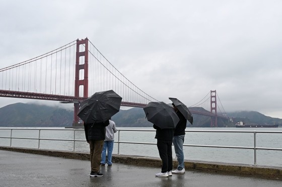
The National Weather Service predicts heavy downpours across Northern California on Monday, putting cities like Chico, Eureka, Redding, and Santa Rosa at risk of flooding. By Tuesday, the storm system is expected to shift toward the Bay Area, raising flood concerns for San Francisco and Sacramento regions.
Los Angeles County authorities are taking preventive measures ahead of the storm's anticipated arrival on Wednesday. This comes just days after containing the Eaton and Palisades wildfires, which claimed at least 29 lives. Officials are urging residents to protect their properties with sandbags and stay informed about storm developments.
"Los Angeles County has been working around the clock to prepare for this storm, clearing debris basins, reinforcing infrastructure, and making sure our residents have the resources they need to stay safe," said Lindsey P. Horvath, Los Angeles county supervisor for the third district.
Weather forecasts indicate the Los Angeles metro area could receive up to 1 inch of rain, while mountainous regions may see 2 to 4 inches. The coastal ranges and northern Sierra foothills could experience between 5 to 10 inches of rainfall.
The combination of heavy rainfall and recently burned areas creates particularly dangerous conditions for mudslides and debris flows, prompting officials to maintain heightened alert across affected regions.