Overview of Orland, California
Geographic Location
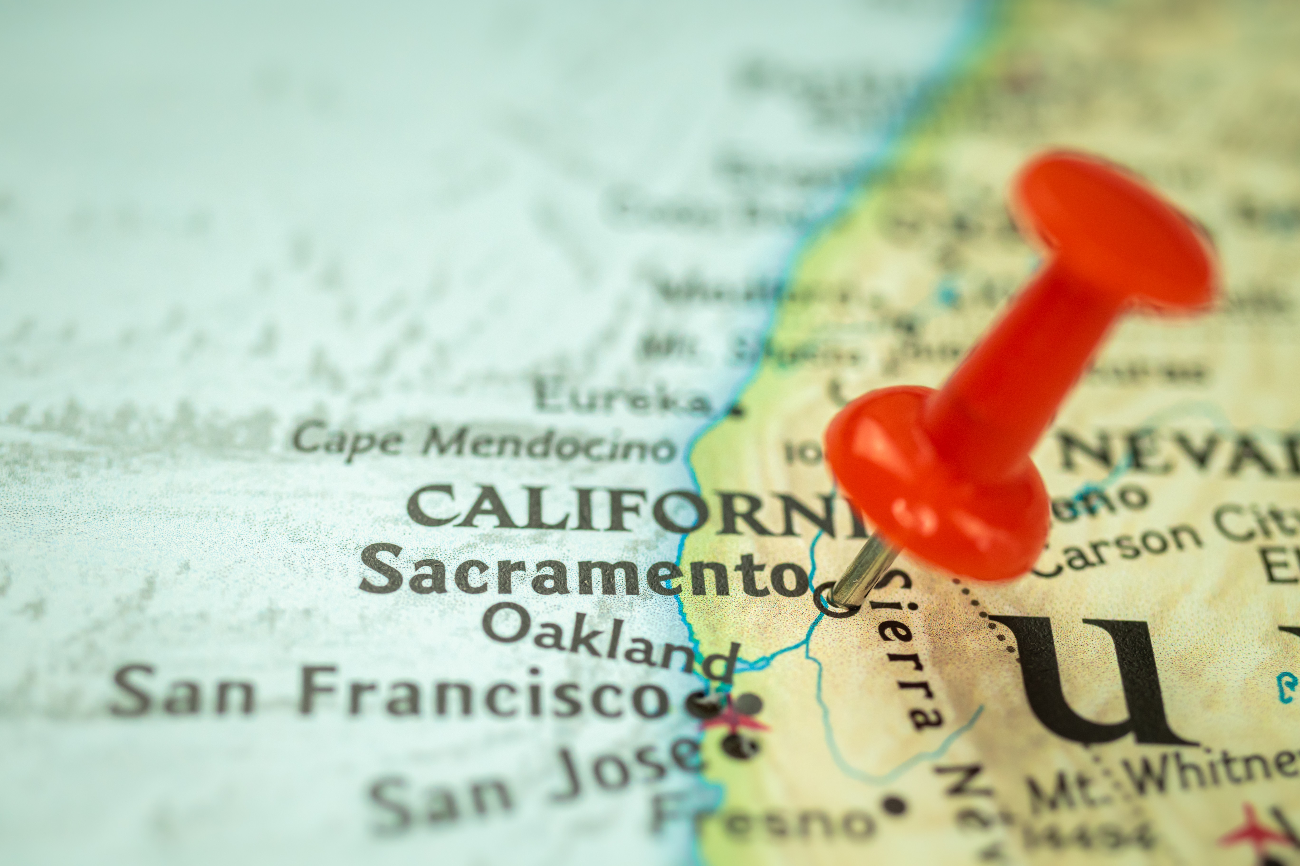
Orland, California, is strategically situated in the northern part of the Sacramento Valley, approximately 100 miles north of Sacramento. Nestled in Glenn County, this small town is encircled by fertile agricultural land, making it a pivotal area for farming and agri-business. The town's proximity to Interstate 5 provides easy access to major cities while maintaining its serene, rural atmosphere. This unique geographical setting offers a blend of small-town charm and accessibility, attracting both residents and visitors alike.
Historical Background
Orland's history dates back to the late 19th century when it was first established as a farming community. The town saw significant growth with the arrival of the Southern Pacific Railroad, which facilitated the transportation of agricultural products. Orland's roots in agriculture remain strong, with the town evolving over the decades while preserving its historical landmarks. The Orland Arch, a symbol of the town's heritage, stands as a testament to its rich past. The community's commitment to preserving its history is evident in the well-maintained historical sites and the annual celebrations that honor its founding days.
Key Attractions
Orland is home to several key attractions that highlight its unique blend of agricultural history and natural beauty. The Orland Buttes, a notable highlight, offer stunning vistas and hiking opportunities for outdoor enthusiasts. For those interested in local culture, the Glenn County Fairgrounds host a variety of events that showcase the town's agricultural roots and community spirit. Another highlight is the Thunderhill Raceway Park, a premier destination for motorsport fans. These attractions collectively provide a diverse array of experiences, making Orland a compelling destination for both residents and tourists.
Detailed Maps of Orland
Street Maps
Navigating the charming city of Orland, California becomes straightforward with detailed street maps. These maps provide a granular view of the city's layout, enabling both residents and visitors to find their way around effortlessly. Orland's street maps are meticulously detailed, showing everything from the main thoroughfares to the quaint side streets. They highlight key landmarks, such as the Glenn County Fairgrounds and the Orland-Artois Water District. The clarity and precision of these maps make them indispensable for urban planning, emergency response, and day-to-day travel. Whether you're looking for the quickest route to the local farmer's market or plotting a scenic drive through the town, Orland's street maps are an essential tool.
Satellite Maps
Satellite maps offer a bird's-eye view of Orland, providing a striking highlight of its geographical and man-made features. These maps capture the city's layout from above, showcasing the beautiful mosaic of urban development and surrounding agricultural lands. The high-resolution imagery allows for the identification of individual buildings, roads, and even large vehicles. This perspective is invaluable for various applications, including environmental monitoring, urban planning, and disaster response. The lush fields of the Sacramento Valley are clearly visible, reinforcing Orland's identity as a hub of agricultural activity. Satellite maps offer a comprehensive view that is both functional and fascinating, making them a vital resource for understanding the city's spatial dynamics.
Topographic Maps
The topographic maps of Orland, California provide an intricate representation of the area's physical terrain. By depicting elevation through contour lines, these maps offer insights into the city's landscape features, from the flat expanses of the valley floor to the gentle undulations of the nearby foothills. This detailed portrayal is particularly useful for outdoor enthusiasts, land developers, and environmental scientists. It aids in understanding water drainage patterns, soil types, and potential flood zones, all crucial factors for sustainable development and conservation efforts. With topographic maps, one can appreciate Orland's unique geographical context within the larger Sacramento Valley, providing a deeper connection to the land and its natural contours.
Interactive Mapping Tools
Online Interactive Maps
Online interactive maps are transforming how residents and visitors explore Orland, California. With real-time updates and user-friendly interfaces, these maps provide a dynamic way to navigate the city. From locating local businesses to finding the quickest route to city parks, interactive maps offer a wealth of information at your fingertips. They also feature layers that can display traffic conditions, public transportation routes, and even local events, making it easier to plan activities and avoid congestion. These tools are not just for tech-savvy individuals; they are designed for accessibility, ensuring everyone can benefit from their comprehensive features.
GPS and Navigation Features
GPS and navigation features have revolutionized travel and daily commutes in Orland, California. These systems provide turn-by-turn directions, real-time traffic updates, and even suggest alternative routes to avoid delays. Enhanced with voice-guided navigation, users can drive safely without taking their eyes off the road. The integration of points of interest allows drivers to find nearby restaurants, gas stations, and tourist attractions effortlessly. For those unfamiliar with the area, GPS-enabled maps offer a sense of security and convenience, ensuring they always find their way, whether they're in the heart of the city or exploring its outskirts.
Mobile Mapping Applications
Mobile mapping applications are becoming indispensable tools for anyone navigating Orland, California. Highlighting their versatility, these apps offer features beyond simple navigation. They provide detailed maps, real-time traffic conditions, and public transit information, all accessible from a smartphone. Users can customize their experience by saving favorite locations, sharing routes with friends, and even accessing offline maps when connectivity is an issue. These applications are continuously updated to reflect the latest changes in road conditions and city layouts, ensuring that users have the most accurate information at their disposal.
Notable Areas in Orland
Downtown Region
The heart of Orland, California, the downtown region, is a vibrant blend of history and modernity. This area, characterized by its charming, tree-lined streets, is home to an array of locally-owned businesses, quaint cafes, and historic buildings that give it a unique small-town appeal. Walking through downtown, one can appreciate the town's agricultural heritage, reflected in the well-preserved architecture and the local shops that often feature products from nearby farms. This central hub not only serves as the economic backbone of Orland but also as a cultural gathering place for community events and festivals, making it a lively spot for both residents and visitors alike.
Residential Neighborhoods
Orland’s residential neighborhoods offer a serene and picturesque setting for those seeking a quieter lifestyle. These areas are characterized by well-maintained homes, spacious yards, and tree-lined streets, making them ideal for families and retirees. The sense of community is palpable, with neighbors often seen engaging in friendly conversations or participating in local activities. Parks and recreational facilities are interspersed throughout, providing ample opportunities for outdoor activities. The overall atmosphere is one of safety and tranquility, offering a stark contrast to the hustle and bustle of urban living.
Commercial Districts
The commercial districts of Orland are bustling centers of economic activity, playing a crucial role in the town's development. These areas are marked by a diverse array of businesses, ranging from retail stores and service providers to restaurants and entertainment venues. The variety ensures that both residents and visitors have access to a wide range of goods and services, contributing to the local economy's vibrancy. These districts are strategically located to maximize accessibility, often near major roads and highways, making them convenient hubs for commerce and trade. The commercial districts not only support the local economy but also enhance the overall quality of life in Orland by providing essential services and amenities.
Surrounding Cities and Towns
Chico, California
A short drive southeast from Orland, Chico, California, is known for its vibrant community and lush landscapes. At its heart lies Bidwell Park, one of the largest municipal parks in the United States, offering residents and visitors a plethora of outdoor activities. The city's economy thrives on education, healthcare, and agriculture, anchored by California State University, Chico. The campus infuses the city with youthful energy, contributing to its lively arts scene and diverse cultural events. Historic downtown Chico boasts unique shops, eateries, and breweries, making it a hub for social gatherings and local commerce. With a blend of natural beauty and urban amenities, Chico provides a compelling destination for a day trip or a longer stay.
Corning, California
Situated just south of Orland, Corning, California, is often dubbed the "Olive City" due to its rich history in olive production. The town is home to several olive orchards and processing plants, where visitors can tour facilities and sample a variety of local olive products. Corning’s annual Olive Festival draws crowds eager to experience the town's agricultural heritage. The city also serves as a gateway to the vast recreational opportunities of the Mendocino National Forest, appealing to outdoor enthusiasts. Beyond olives, Corning's economy is supported by agriculture, with almonds and walnuts playing significant roles. The small-town charm and agricultural abundance make Corning a notable point of interest in Northern California.
Vina, California
Located northeast of Orland, Vina, California, is a small community known for its serene atmosphere and agricultural roots. Vina offers a peaceful escape with several noteworthy features:
- Home to the Abbey of New Clairvaux, a Trappist monastery producing renowned wines.
- Vast vineyards and orchards, contributing to the local economy.
- Scenic rural landscapes ideal for leisurely drives and photography.
- Close proximity to the Sacramento River, providing opportunities for fishing and water activities.
- Small-town charm with a tight-knit community feel.
These elements collectively make Vina a unique and tranquil destination, perfect for those looking to explore Northern California's quieter side.
Frequently Asked Questions about Orland Maps
Where can I find historical maps of Orland?
Exploring the rich history of Orland, California, is made easier with historical maps that provide a visual journey through time. The Glenn County Historical Society is a treasure trove for such maps, maintaining a robust archive that showcases the town's development. Online resources like the Library of Congress also offer digitized historical maps.
"Historical maps of Orland reveal the town's transformation from a rural settlement to a vibrant community," notes local historian Jane Doe. "They are indispensable for understanding the region's heritage."
What are the best online tools for Orland maps?
Digital tools have revolutionized map access, offering detailed, interactive experiences. Google Maps remains an unbeatable option for its comprehensive coverage and user-friendly interface, allowing for street views and real-time traffic updates. OpenStreetMap, praised for its collaborative nature, offers a detailed, user-generated map that highlights local features often overlooked by commercial services. For topographical and land-use specifics, the US Geological Survey provides precise, high-quality maps that are invaluable for researchers and outdoor enthusiasts alike.
How can I download a map of Orland?
Accessing a downloadable map of Orland, California, is straightforward and can be accomplished through several reputable sources. The City of Orland’s official website offers downloadable PDFs of various maps, including zoning and street maps. Google Maps provides an option to download offline maps for mobile devices, ensuring navigation without an active internet connection. Additionally, platforms like MapQuest and Bing Maps enable users to print or download map sections, catering to a variety of needs from casual use to detailed planning.
Demographic Information
Population Statistics
| Year | Population | Growth Rate |
|---|---|---|
| 2010 | 7,291 | 1.2% |
| 2015 | 7,527 | 0.6% |
| 2020 | 7,839 | 0.8% |
Recent data shows Orland, California, experiencing a modest but steady population growth over the past decade. According to the 2020 census, the town's population reached 7,839, marking a growth rate of approximately 0.8% from 2015. This consistent increase indicates a gradual yet stable community expansion, reflecting the town's enduring appeal and potential for future development. The town's population figures reveal a community that, while small, is steadily blossoming, maintaining its charm while adapting to incremental growth.
Age and Gender Distribution
Orland, California, presents a balanced demographic structure. The median age of its residents is approximately 36 years, suggesting a relatively young community with a mix of working-age individuals and families. The age distribution is well spread, with a significant portion of the population in the 25 to 44-year age bracket, characterizing the town as dynamic and vibrant. Gender distribution is almost evenly split, with a slight female majority, reflecting national trends. This balance supports a diverse community lifestyle, catering to various age groups and ensuring a broad representation of needs and perspectives.
Income and Employment Data
The economic landscape of Orland, California, is marked by a mix of agricultural and service sector employment. The median household income stands at around $45,000, a figure that illustrates the town's working-class roots. Employment opportunities are primarily centered around agriculture, given the town's rich farming history, while the service sector also plays a crucial role in supporting the local economy. Unemployment rates have been relatively low, suggesting a stable job market. The data underscores Orland's blend of traditional agricultural heritage and modern service-oriented employment, crafting a unique economic profile.
Travel and Tourism Information
Hotel Reservations
Orland, California, a charming town nestled in the Sacramento Valley, offers a variety of accommodations for travelers. From cozy bed-and-breakfasts to well-known hotel chains, visitors can find lodging that fits their preferences and budget. Local establishments like the Orland Inn provide a homely atmosphere with personalized service, while larger hotels such as the Best Western Willows Inn cater to those seeking more amenities and comfort. Booking in advance is recommended, especially during the peak tourist seasons, to secure the best rates and preferred room types. Many hotels also offer online booking systems, making it convenient for guests to plan their stay ahead of time.
Car Rentals
Navigating Orland and its picturesque surroundings is best done by car, and several rental agencies are available to facilitate this. National chains like Enterprise and Hertz have offices in the nearby cities, providing a range of vehicles from compact cars to SUVs. Local rental services also offer competitive rates and personalized service, often including options for long-term rentals and special deals. Renting a car allows visitors to explore the scenic routes, visit local attractions like the Black Butte Lake and Thunderhill Raceway Park, and enjoy the flexibility to travel at their own pace. It's advisable to check rental terms, insurance coverage, and fuel policies before making a reservation.
Flight Information
Reaching Orland by air is straightforward, with the closest major airports being Sacramento International Airport (SMF) and San Francisco International Airport (SFO). Here’s a quick guide to help you plan your journey:
- Sacramento International Airport (SMF): Located approximately 90 miles from Orland, this airport offers a range of domestic and international flights. It is the most convenient option for travelers heading to Orland.
- San Francisco International Airport (SFO): This major hub is about 170 miles from Orland, providing numerous flight options from around the globe. It’s a suitable alternative for those looking for more flight availability.
- Chico Municipal Airport (CIC): Situated closer to Orland, around 30 miles away, this smaller airport serves regional flights and can be a good option for domestic travelers.
Checking flight schedules and booking tickets in advance can help ensure a smooth journey to Orland.