Cal Fire has begun releasing new fire hazard severity zone maps for inland Northern California communities, marking the first major update in over a decade. The revised maps expand regulated fire safety zones by more than 377,000 acres.
The rollout, which started this week, will continue through March 24 when Southern California maps are scheduled for release. The updates are projected to add approximately 1.4 million acres to areas designated as "very high" and "high" hazard zones.
Among the 35 cities included in the initial release, Truckee and Chico saw the largest increases in regulated zones. Placerville stands as the only exception, with parts of its central district now falling outside hazard zones, down from its previous classification as mostly "very high" risk.
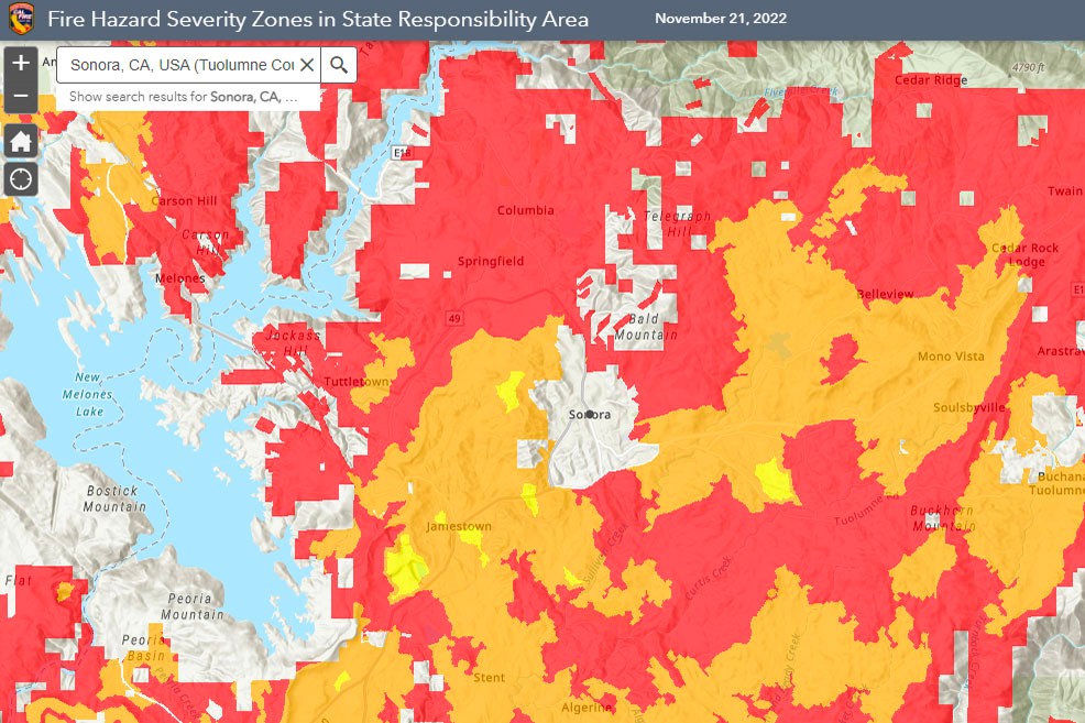
Local jurisdictions now have 120 days to gather public input, adopt the maps officially, and begin implementing stricter fire safety regulations. The new mapping focuses specifically on areas under local fire department jurisdiction, following Cal Fire's September 2023 update of state-responsibility areas.
The scope of the project has expanded substantially due to 2021 legislation requiring Cal Fire to map "moderate" and "high" risk zones in addition to "very high" zones. California's fire safety landscape is about to undergo a major transformation as Cal Fire prepares to release updated fire hazard severity zone maps, marking the first such update in over a decade for locally managed areas. The updated maps show nearly 600,000 acres designated across all three risk levels in Northern California, up from 72,000 acres previously mapped only as "very high" risk between 2008 and 2011.
Property owners in newly designated "high" hazard zones will now face the same building requirements as those in "very high" risk areas, necessitating fire-resistant construction methods for new builds and renovations.
The updated maps incorporate refined modeling techniques, including more detailed climate data and calculations based on extreme weather conditions. Cal Fire has made the complete mapping information available on their website, including detailed PDFs for each city and county.